
Gulf of Aden & Somali Basin
HIGH THREAT Primary threat: hijack. High-risk areas: north-east Somali coast, Somali Basin.
The Gulf of Aden remains one of the world’s most strategically important corridors, linking the Indian Ocean to the Red Sea through the Bab-el-Mandeb Strait. Thousands of container ships, tankers, LNG carriers, bulk carriers and general cargo vessels transit each year.
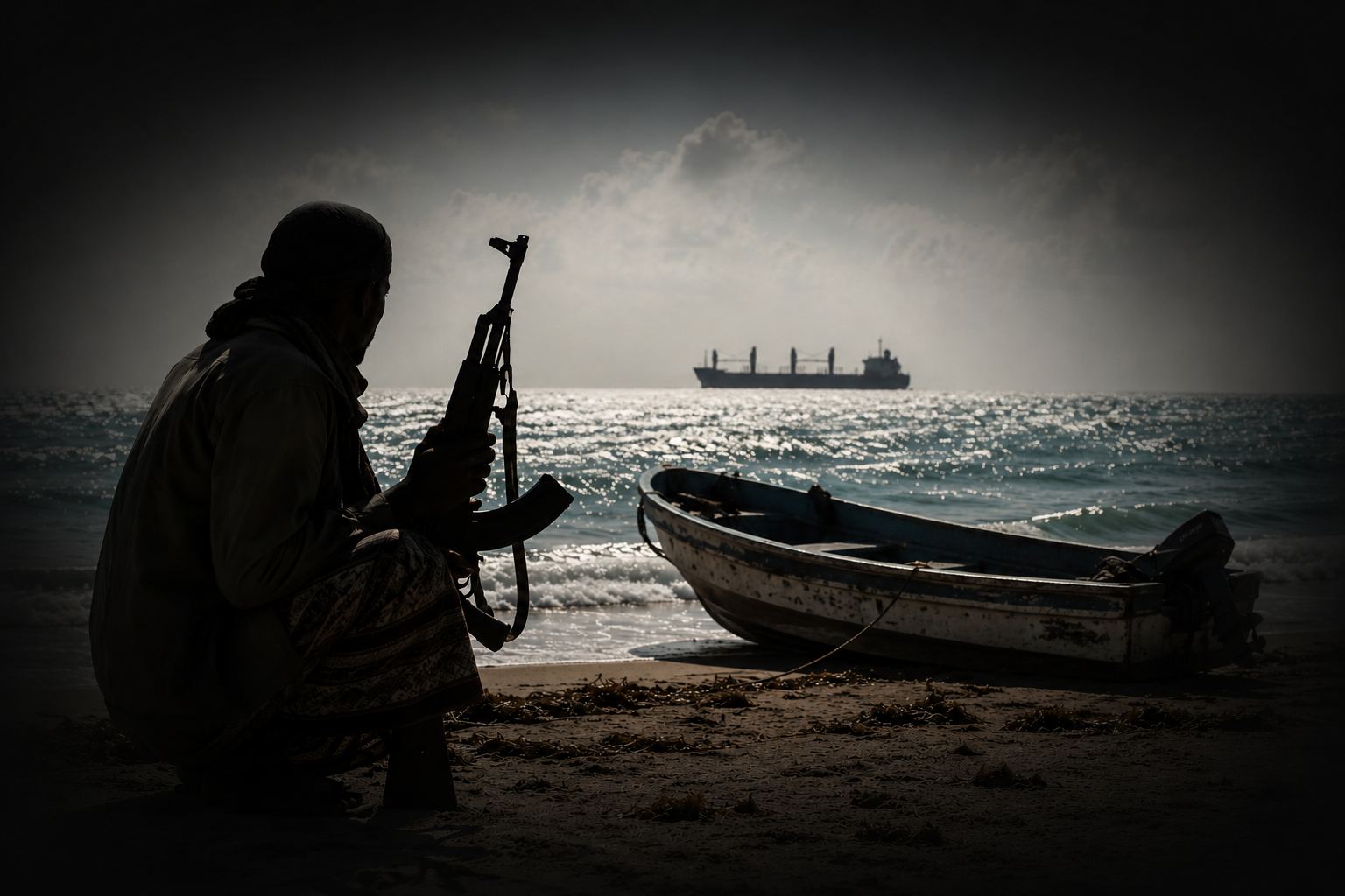
International naval operations had greatly reduced successful hijackings, but the recent re-emergence of piracy has led to multiple successful hijackings. Several Pirate Action Groups are reported to be operating, capable of sustained deep-sea operations from dhows, with attacks from small, fast skiffs.
Recommended posture: BMP Maritime Security, with physical barriers on the most vulnerable access points. Nearest Palaemon hub: UAE (Asia-bound: Singapore).
Incidents in this region
The live heat map, preset to this region. Click an area for its summary, or a dot for the incident. History, not a forecast; positions approximate.
Latest incidents in this area
The five most recent reported incidents in this region, newest first, from the same data as the live map. Positions approximate; vessel names withheld.
- Loading the latest incidents…
Alerts for this region
Incident alerts and the weekly report, free.
You're on the list. The next weekly report will arrive by email. In the meantime, the heat map shows this month's incidents.
What's the risk on your next voyage?
A per-leg risk picture for a planned voyage, built on open-source incident reporting and official guidance. Now taking early-access sign-ups.
Get early accessIntelligence sources & disclaimer
Palaemon Maritime compiles maritime security information from publicly available and industry-recognised sources, including UKMTO, MSCIO, JMIC, the IMO, MARAD, regional maritime authorities and naval forces, and open-source and industry reporting. Reports may be revised as more information becomes available. This information is for general situational awareness only and is not a substitute for official guidance, voyage planning or risk assessment. Operators should consult the latest official advisories and BMP MS before entering higher-risk regions. Palaemon Maritime accepts no liability for decisions made solely on the basis of this information.